Linear Assets such as water pipelines, gas pipelines, and electric cables are critical for our livelihood. They are more prone to damage as they are exposed to extreme weather conditions, natural disasters, accidents, etc. The defects in the linear assets will have a cascading impact on the entire network. Therefore, the maintenance personnel must access the asset’s location and fix the issue quickly.
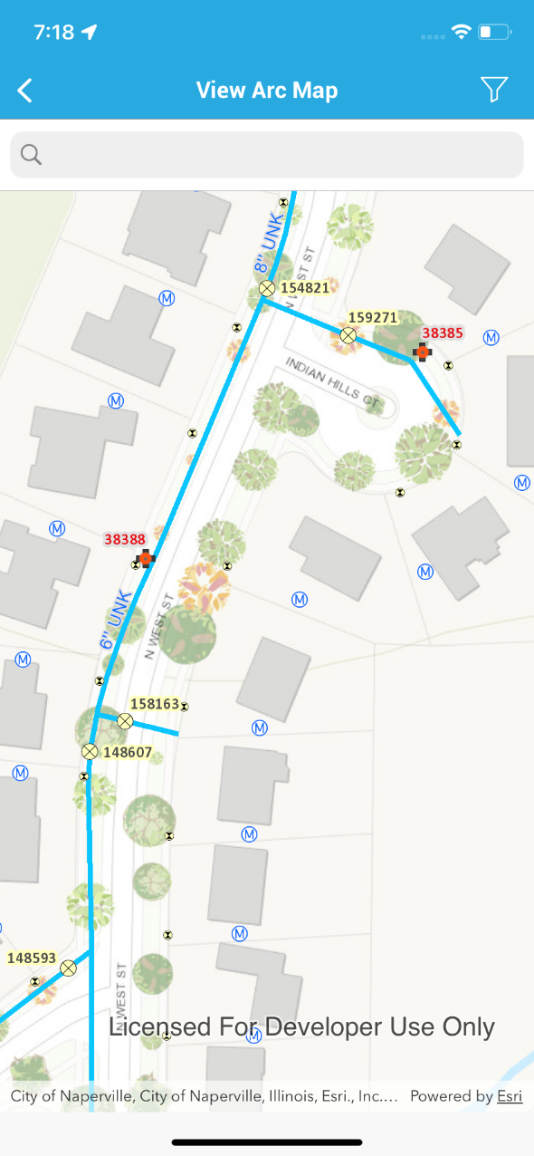
Geographical Information System (GIS) helps the maintenance technician to locate the distributed assets on the linear asset network faster to perform the maintenance activities. The GIS system provides a layered view for each linear asset network along with the point assets such as valves, pumps, compressors, transformers, etc.
Traditionally, technicians print out the map from the GIS system to identify problem areas and perform maintenance work. This is not an intuitive solution and leads to repeated delays in accessing the correct work location. Using maps on a mobile helps the Technician to access the work location more accurately. Mobile apps provide intuitive maps along with the work order details. The maps offer zoom-in and zoom-out features to view the entire network to identify the exact work location and help determine the pre-requisites, such as requirements to isolate the problem area by closing respective valves or breakers.
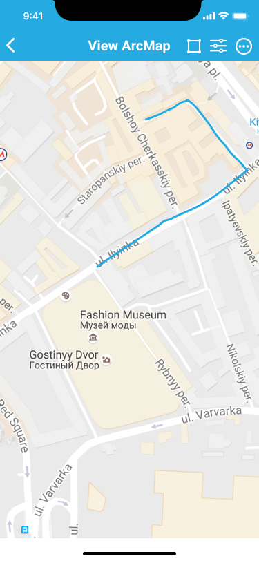
The new age native mobile apps provide the capability to download an area of the map for offline use. These mobile apps integrate with the IBM Maximo EAM system to get the work order details and the ESRI GIS system to get the mapping details to display data from both the systems on a single user interface. This provides excellent help for the field technician to access the map and work order details in a remote location where there is no network connectivity available. The Technician can use the map the same way as it’s used in the desktop computer, such as zooming in and out or viewing the nearby and related assets, etc.
How does it work?
The apps such as the EAM360 mobile app for Maximo provide a layered map view as below, where the Technician can view the details such as Asset, Location, Service Address, Work Orders, etc., on the specific linear asset network.
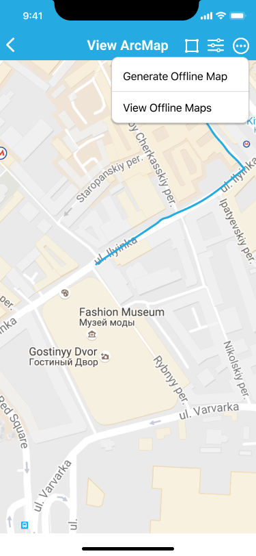
The technician can view the assigned work Orders and use the offline map generation option to generate & download the map relevant to the work order location. Multiple maps can be downloaded based on the number of work orders assigned to the Technician.
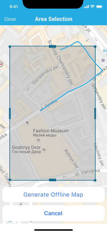
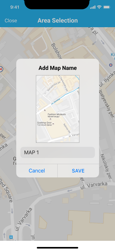
Technicians can also generate more than one offline map and save it to the mobile if the work needs to be performed in multiple places.
The offline mapping capabilities of EAM mobile applications have significantly improved productivity and empowered the maintenance technician to perform the work more effectively.
Author:
Business Analyst